

Interactive travel map
Follow our sailing journey in real time from Washington State down the coast, through the Panama Canal, and out into the turquoise waters of the Caribbean. We track our live route, nautical miles, and anchorages using the Polarsteps app.
Track our voyage on Polarsteps
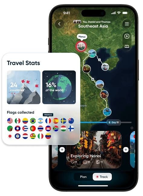
To give our friends and family the best interactive experience, we log our daily progress, coordinates, and sea days on the Polarsteps app. By connecting with us there, you can see our live positions & pinned anchorages.

From Washington State to the Caribbean
Our grand adventure begins in the Pacific Northwest of Washington State, heads south along the Pacific coast toward Central America, transits the historic Panama Canal, and opens up into the islands of the Caribbean. Each stop on the map shares photo highlights, journal updates, and unforgettable memories from our voyage.

Request an invite to join our tracker
Our Polarsteps tracker app is reserved for our community of friends, family, and fellow sailors. If you want to follow along with our live location and never miss an update, simply send us a message and we will send you a personal invitation to view our map.